The north / Le Septentrion
Ngaoundéré and the Adamawa plateau
At the end of the line from Yaoundé, Ngaoundéré sits on a cool, grassy plateau of cattle herds and crater lakes, the gateway between Cameroon's forested south and its dry north.
The end of the line Le terminus du rail
Ngaoundéré is the capital of the Adamawa region and the northern terminus of the Transcameroon railway. The line from Yaoundé reached the town in the 1970s, and for decades the overnight train has been one of the main ways to travel between the south of the country and the north. Trucks, buses and cattle convoys continue from here by road towards Garoua, Maroua, Chad and the Central African Republic.
The train journey from Yaoundé takes most of a night and often longer, through forest and then savanna as the line climbs onto the plateau. There are classes from seats to sleeping compartments. Timetables, fares and how to book change, and services have been interrupted at times, so check before you go and buy tickets in advance where you can.
The town feels different from the south. Mosques stand among the houses, many people wear long robes, and Fulfulde is heard as much as French. The air is cooler and drier, and the evenings, at well over 1,000 metres, can be surprisingly chilly.
The Lamido's palace Le palais du Lamido
Ngaoundéré grew as the seat of a Fulbe (Fulani) lamidate, founded in the nineteenth century when Fulbe rulers established states across the Adamawa region. The Lamido, the traditional ruler, still holds great social and religious standing, and his palace, the lamidat, stands at the heart of the old town.
The palace compound is a group of buildings of earth and thatch, some with tall conical roofs, enclosed by walls and gates. Visitors can usually tour parts of it with a guide from the palace, and on some days there are formal gatherings with musicians and horsemen. Etiquette matters: dress modestly, ask permission before any photographs, greet the representative who receives you, and accept that some areas are closed. A fee is normally expected; amounts change, so check on the day.
Cattle country Le pays de l'élevage
The Adamawa plateau is a broad upland of grass, scattered trees and granite hills, rising between roughly 1,000 and 1,500 metres. It is one of the main cattle regions of Central Africa. Fulbe and Mbororo herders graze large herds of humped zebu cattle, and the cattle markets of the region supply meat to cities across Cameroon and beyond.
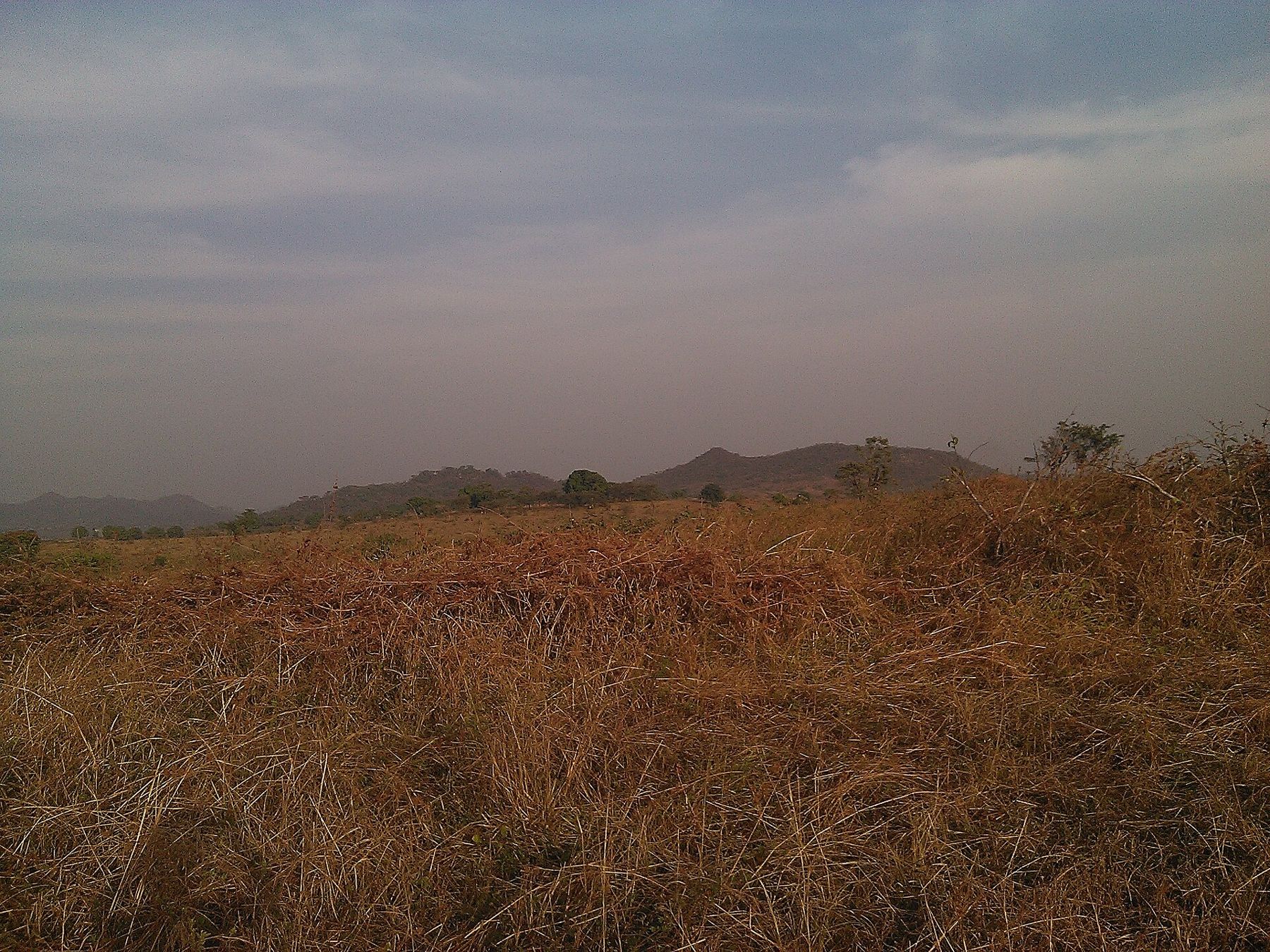
In the rainy season, roughly May to October, the plateau turns green and the grass grows tall. In the dry season it browns, fires are set to renew pasture, and herds move in search of water. Drive out of town in any direction and you pass herders, cattle crossing the road, and villages of round houses.
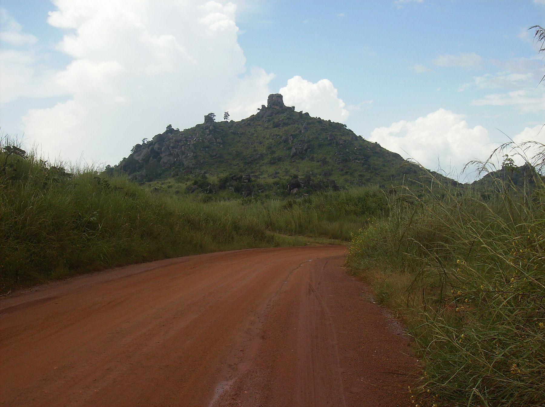
Mont Ngaoundéré, a rocky hill near the town, is thought to have given the town its name, which is often explained as the mountain with a navel, after the knob of rock on its summit. It makes a good half-day walk with views over the plateau.
Detour / détourFoumban and the Bamum sultansCrater lakes Les lacs de cratère
The plateau is volcanic in origin, and crater lakes lie within easy reach of the town. Lac Tison, a few kilometres south, sits in a round crater ringed by trees and grass; it is a pleasant place for a walk and a picnic. Lac Dang, near the university district outside town, is another lake popular with students and families at weekends.
Beyond the lakes, the plateau has waterfalls and rivers that run high in the rainy season, and the escarpment on the road north towards Garoua offers some of the widest views in the country, as the land drops away from the cool uplands to the hot plains of the Benue basin.
Ask locally about swimming, which may not be wise in every lake, and about access paths. Go in the morning or late afternoon, take water, and remember that the sun at this altitude is strong even when the air feels cool.
Getting around and safety Déplacements et sécurité
Ngaoundéré is spread out, and motorbike taxis and shared cars are the usual way to cross town. Buses run north down the escarpment to Garoua and on to Maroua, and east and south towards Meiganga and Bertoua. The road down from the plateau to the northern plains is steep and scenic.
Parts of the Adamawa and North regions have seen kidnappings for ransom on rural roads and in villages. Before you travel outside the town, read your government's current travel advice, ask locally about conditions, and travel only by day. The Far North beyond Garoua, home to Rhumsiki and the Mandara peaks and Waza National Park, has much more serious security problems.
Food and practical notes Cuisine et conseils pratiques
The food here reflects cattle country. Grilled beef on skewers, called soya, is sold at night by the roadside, and fresh milk and yoghurt are easier to find than in the south. Couscous made from maize or millet comes with sauces of okra or leaves. The guide to eating in Cameroon explains more of the dishes you meet across the country.
Markets in town sell cloth, leatherwork, embroidered caps and household goods, and the cattle market on the edge of town is busy early in the morning. Carry cash; cash machines exist in town but can be unreliable. The best months to visit are the dry season from November to February, when the air is clear and the days are warm rather than hot. For entry rules, health and seasons, see the guide to planning a trip.